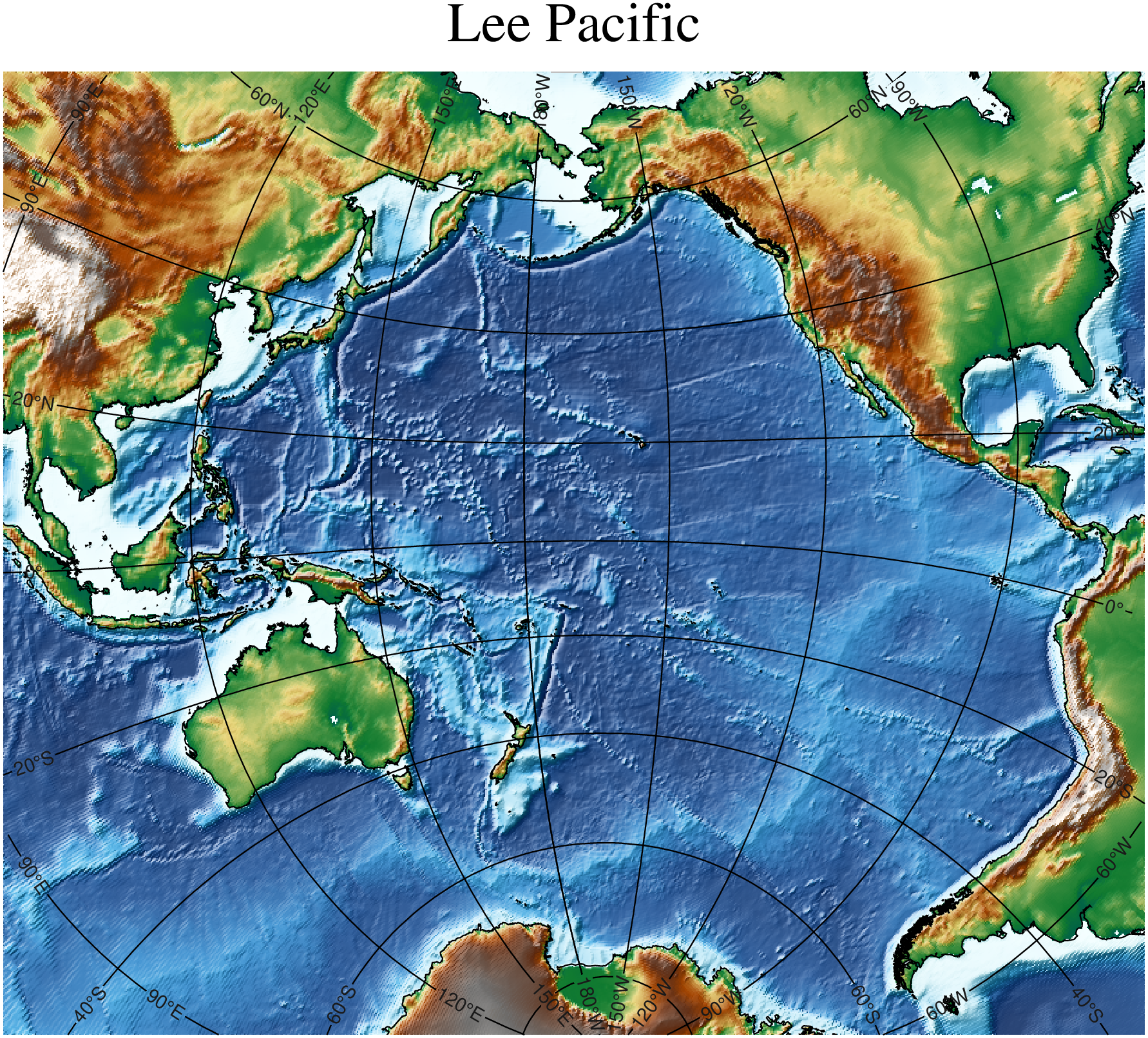
using GMT
G, cl = leepacific("@earth_relief_20m_p");
grdimage(G, shade=true, plot=(data=cl,), title="Lee Pacific", cmap=:geo, B=:none)
plotgrid!(G, show=true)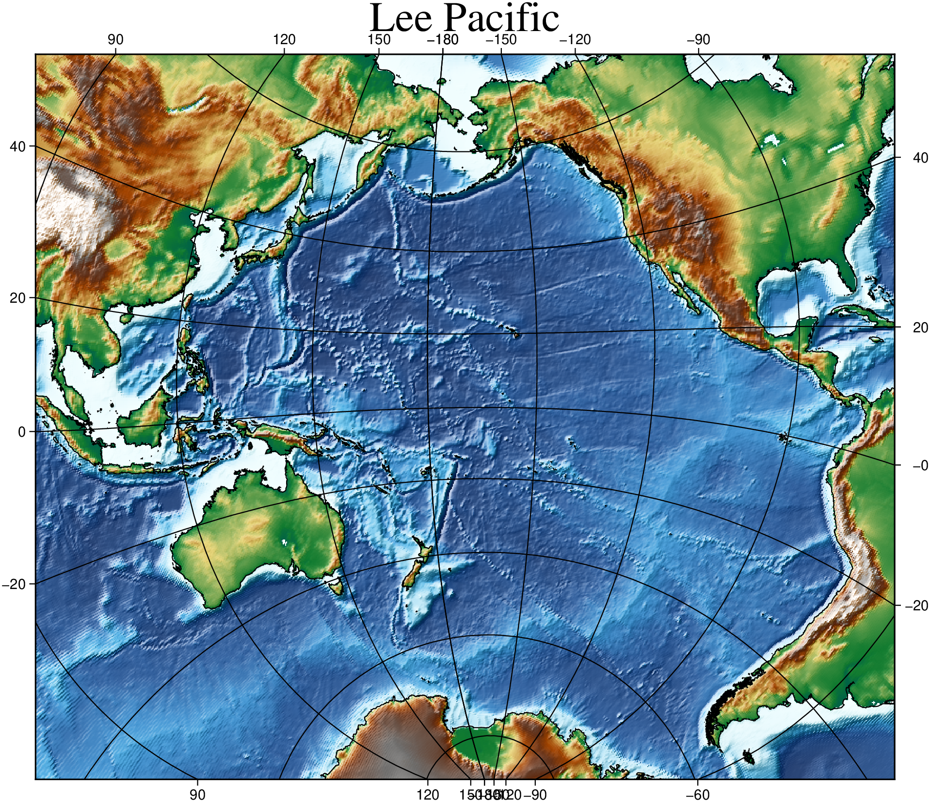
The Lee map projection is one that can be used to make maps over the Pacific Ocean with much less distortion than many of the normal map projections. This projection is not one that lieves in the GMT C library, but one whose interface is defined in the GMT Julia package. So the its using syntax is slightly different. For example we cannot add grid lines and annotations with the frame option. Instead, we use the plotgrid! function.
using GMT
G, cl = leepacific("@earth_relief_20m_p");
grdimage(G, shade=true, plot=(data=cl,), title="Lee Pacific", cmap=:geo, B=:none)
plotgrid!(G, show=true)
Starting with GMT.jl version 1.32, we can use the inner option to make the annotations at the end of grid lines, in the inner side of the map.
using GMT
G, cl = leepacific("@earth_relief_20m_p");
grdimage(G, shade=true, plot=(data=cl,), title="Lee Pacific", cmap=:geo, B=:none)
plotgrid!(G, inner=true, show=true)