using GMT
mozambique = gadm("MOZ");

imshow(mozambique, proj=:guess, title="Moçambique")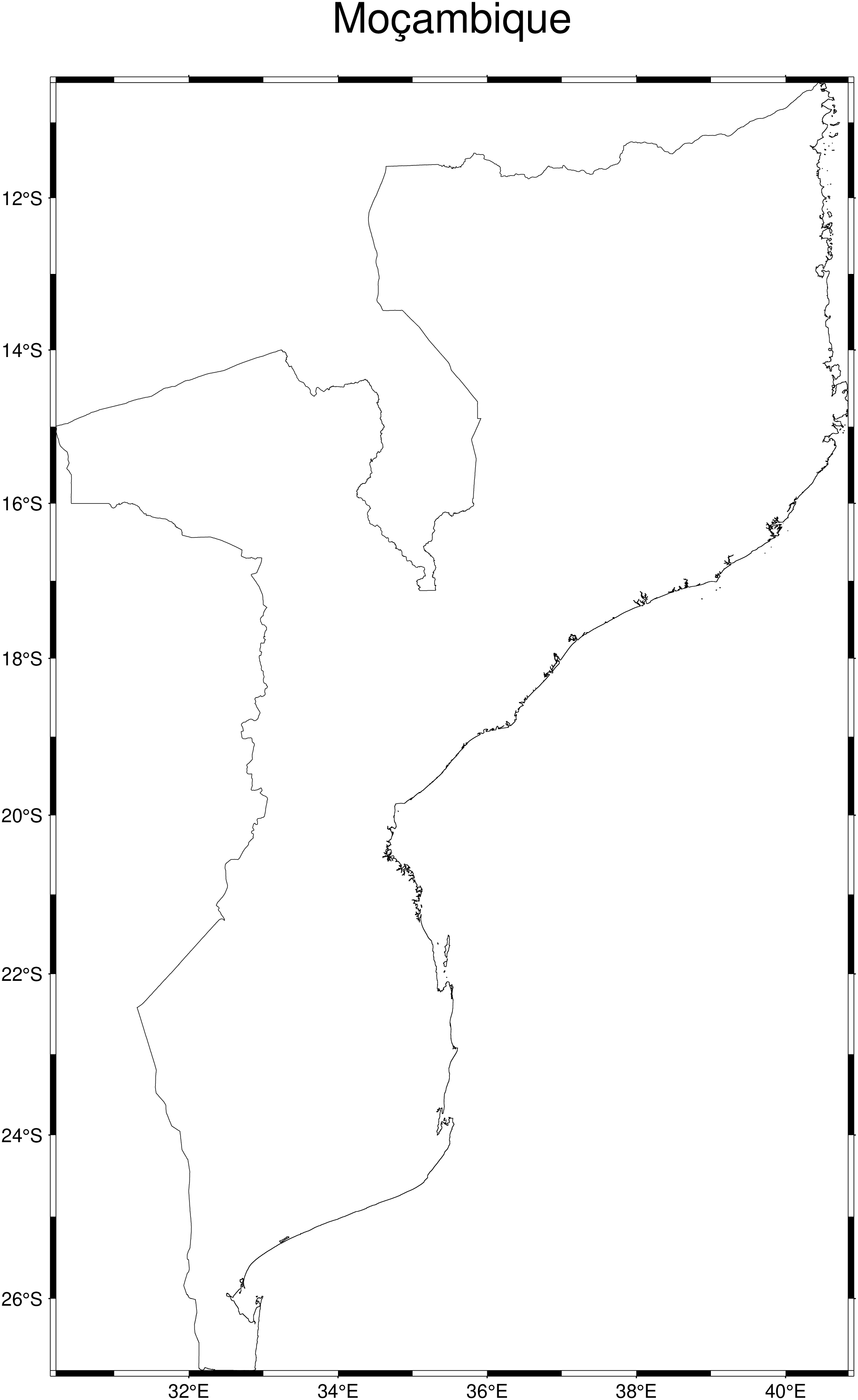
We start by download and save in cache the geopackage file with Mozambique data. Note, a downloading message will be printed only once, and in this case it will say
Downloading geographic data for country MOZ provided by the https://gadm.org project. It may take a while. The file gadm36_MOZ.gpkg (after uncompressing) will be stored in your home dir/.gmt/cache
using GMT
mozambique = gadm("MOZ");
imshow(mozambique, proj=:guess, title="Moçambique")
Next let us add all the provincies of Moçambique. For that we’ll use the country code as parent and the option children=true to indicate that we want all provincies boundaries.
using GMT
mozambique = gadm("MOZ", children=true);
imshow(mozambique, proj=:guess, title="Provinces of Moçambique")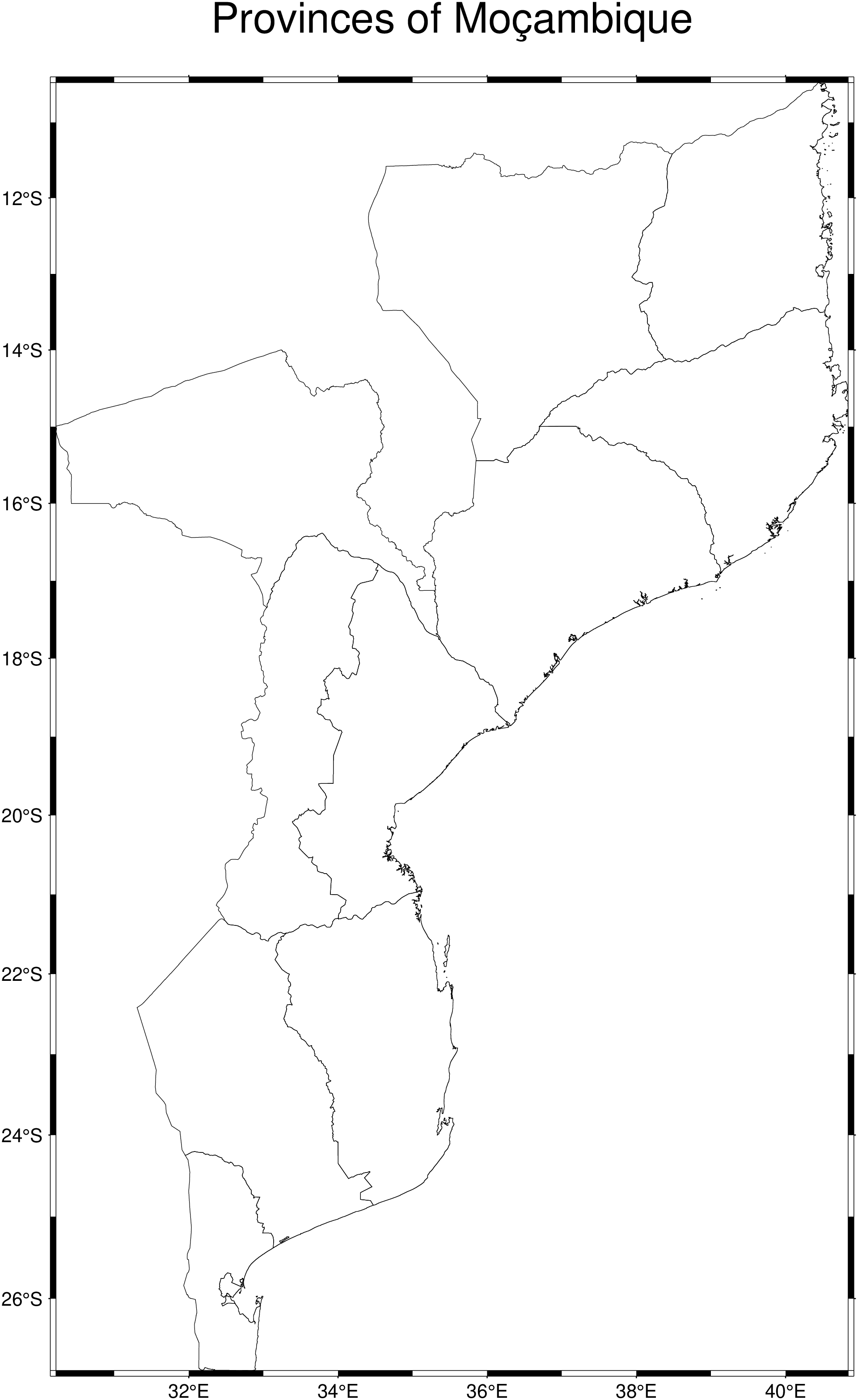
To know the provinces names such that we can use them individually for example, we use the option names=true
gadm("MOZ", names=true)"Cabo Delgado"
"Gaza"
"Inhambane"
"Manica"
"Maputo"
"Maputo City"
"Nampula"
"Nassa"
"Sofala"
"Tete"
"Zambezia"Now we can plot only one of those provinces and its children
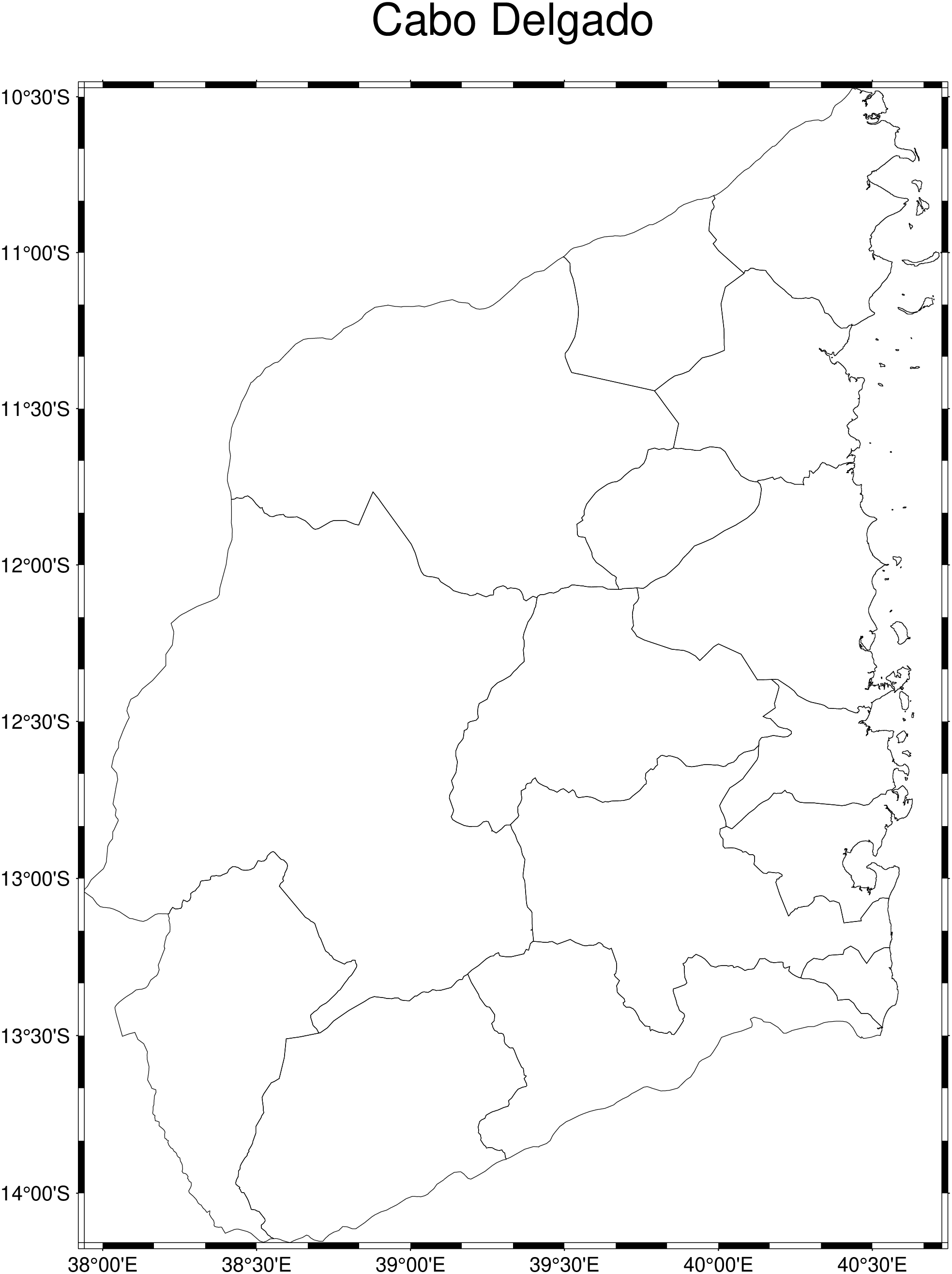
using GMT
CD = gadm("MOZ", "Cabo Delgado", children=true);
imshow(CD, proj=:guess, title="Cabo Delgado")