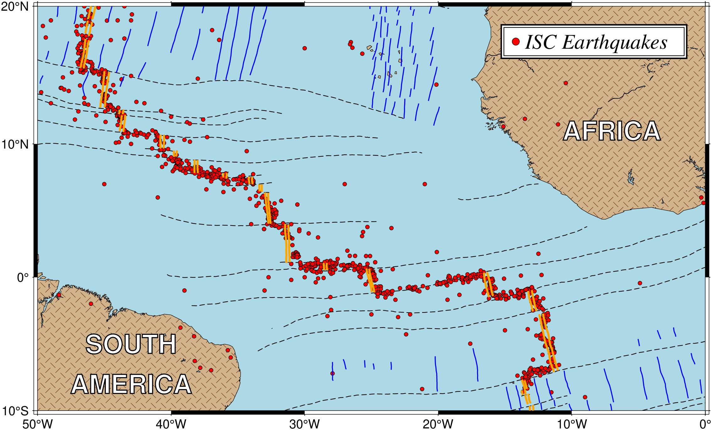
Many scientific papers start out by showing a location map of the region of interest. This map will typically also contain certain features and labels. This example will present a location map for the equatorial Atlantic ocean, where fracture zones and mid-ocean ridge segments have been plotted. We also would like to plot earthquake locations and available isochrons. We have obtained one file, quakes_07.txt, which contains the position and magnitude of available earthquakes in the region. We choose to use magnitude/40 for the symbol-size in cm. The digital fracture zone traces (fz_07.txt) and isochrons (0 isochron as ridge_07.txt, the rest as isochron_07.txt) were digitized from available maps 1. We create the final location map with the following script: