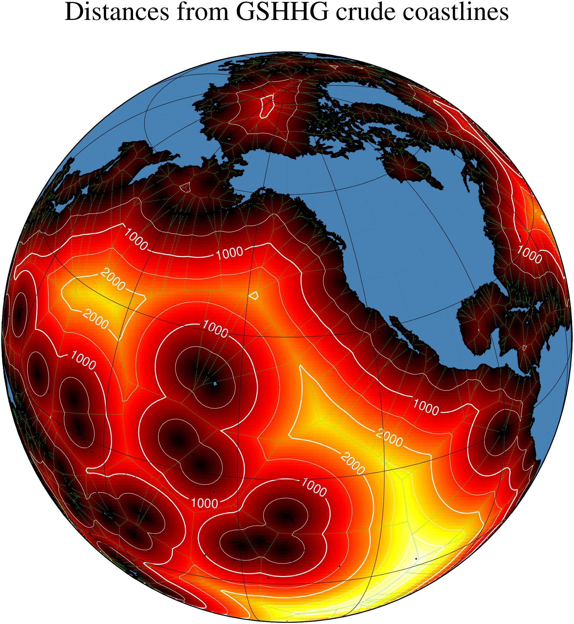
(35) Spherical triangulation and distance calculations
The script produces the plot in Figure. Here we demonstrate how [sphtriangulate] and [sphdistance] are used to compute the Delauney and Voronoi information on a sphere, using a decimated GSHHG crude coastline. We show a color image of the distances, highlighted with 500-km contours, and overlay the Voronoi polygons in green. Finally, the continents are placed on top.