EMAG2 Earth Magnetic Anomaly Model
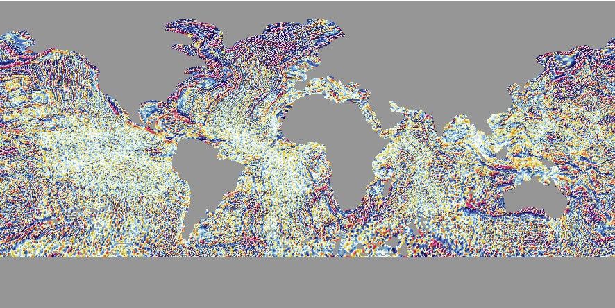
The US National Environmental Information Center Office of Geomatics provide EMAG2, the Earth Magnetic Anomaly Model at 2 arc-minute resolution based on satellite, ship, and airborne magnetic measurements. The latest EMAG2 version 3 [Meyer et al., 2017] grid is now available for remote use in GMT.
Usage
You access a global EMAG2 grid by specifying the special name
@earth_mag[_rru[_reg]]
This version is observed at sea level over oceanic regions and have no data over land. For a version where all observations are relative to an altitude of 4 km above the geoid and includes data over land, use instead
@earth_mag4km[_rru[_reg]]
The following codes for rru and the optional reg are supported (dimensions are listed
for pixel-registered grids; gridline-registered grids increment dimensions by one). The sizes
refers to the earth_mag4km version (the oceanic files are ~60% smaller):
Code
Dimensions
Reg
Size
Description
01d
360 x 180
g,p
65 KB
1 arc degree global EMAG2 (2 min @ 315 km)
30m
720 x 360
g,p
206 KB
30 arc minute global EMAG2 (2 min @ 157 km)
20m
1080 x 540
g,p
438 KB
20 arc minute global EMAG2 (2 min @ 105 km)
15m
1440 x 720
g,p
748 KB
15 arc minute global EMAG2 (2 min @ 79 km)
10m
2160 x 1080
g,p
1.6 MB
10 arc minute global EMAG2 (2 min @ 52 km)
06m
3600 x 1800
g,p
4.1 MB
6 arc minute global EMAG2 (2 min @ 32 km)
05m
4320 x 2160
g,p
5.7 MB
5 arc minute global EMAG2 (2 min @ 26 km)
04m
5400 x 2700
g,p
8.6 MB
4 arc minute global EMAG2 (2 min @ 21 km)
03m
7200 x 3600
g,p
15 MB
3 arc minute global EMAG2 (2 min @ 16 km)
02m
10800 x 5400
p
33 MB
2 arc minute global EMAG2 (2 min original)
Note that resolutions 05m and higher are tiled. See Remote Datasets for more information.
See GMT remote dataset usage for when resolution codes are optional or required.
All of these data will, when downloaded, be placed in your ~/.gmt/server directory, with
the earth_mag files being placed in an earth/earth_mag sub-directory and
the earth_mag4km files in an earth/earth_mag4km sub-directory. If you do not
specify a CPT, the default CPT for this dataset (@earth_mag.cpt) will be used.
Technical Information
We scale and reformat the original data to take up very little space so that downloads from the servers are as fast as possible. For the EMAG2 grid this means we chose 0.2 nTesla as the smallest data unit, which is well below the uncertainties in the model (0.4 nT for the 4 km altitude version). Data are scaled and shifted to fit in a short integer grid that is highly compressed by netCDF lossless compression and chunking. The data are reported in nT.
Data References
Meyer, B., Saltus, R. and Chulliat, A., 2017: [https://doi.org/10.7289/V5H70CVX].