GSHHG Earth Distance to Shoreline
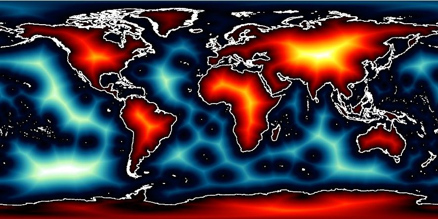
Geological, geophysical, oceanographic and biological studies may at times need to know how far it is to the nearest coastline. Here, the coastline is the GSHHG coastline used in GMT.
Usage
You access a global distance grid by specifying the special name
@earth_dist[_rru[_reg]]
The following codes for rru and the optional reg are supported (dimensions are listed for pixel-registered grids; gridline-registered grids increment dimensions by one):
Code
Dimensions
Reg
Size
Description
01d
360 x 180
g,p
82 KB
1 arc degree global distance (MSS @ 315 km)
30m
720 x 360
g,p
245 KB
30 arc minute global distance (MSS @ 157 km)
20m
1080 x 540
g,p
500 KB
20 arc minute global distance (MSS @ 105 km)
15m
1440 x 720
g,p
840 KB
15 arc minute global distance (MSS @ 79 km)
10m
2160 x 1080
g,p
1.7 MB
10 arc minute global distance (MSS @ 52 km)
06m
3600 x 1800
g,p
4.3 MB
6 arc minute global distance (MSS @ 32 km)
05m
4320 x 2160
g,p
5.7 MB
5 arc minute global distance (MSS @ 26 km)
04m
5400 x 2700
g,p
8.5 MB
4 arc minute global distance (MSS @ 21 km)
03m
7200 x 3600
g,p
15 MB
3 arc minute global distance (MSS @ 16 km)
02m
10800 x 5400
g,p
26 MB
2 arc minute global distance (MSS @ 11 km)
01m
21600 x 10800
g
79 MB
1 arc minute global distance (original)
Note that resolutions 05m and higher are tiled. See Remote Datasets for more information.
See GMT remote dataset usage for when resolution codes are optional or required.
All of these data will, when downloaded, be placed in your ~/.gmt/server directory, with
the earth_dist files being placed in an earth/earth_dist sub-directory. If you do not
specify a CPT, the default CPT for this dataset (the GMT master @earth_dist.cpt CPT) will be used.
Technical Information
We scale and reformat the original data to take up very little space so that downloads from the servers are as fast as possible. For the distance grid this meant we chose 80 m as the smallest data unit, which is below the uncertainties in the model. Data are scaled and shifted to fit in a short integer grid that is highly compressed by netCDF lossless compression and chunking. The data are reported in kilometers. Positive (negative) distance values mean land to coastline (ocean to coastline).