IGPP Earth East-West Deflection

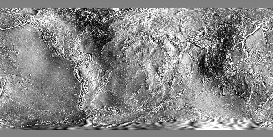
Both geodynamic and geophysical studies have an interest in the study of the Earth’s gravity field and are often used in conjunctions with bathymetric or topographic relief to assess the degree of isostasy. David Sandwell and colleagues have provided altimetry-based marine FAA and similar grids since 1995. The latest version 33 is now available for remote use in GMT. Over land these grids are filled in by the EGM2008 model [Pavlis et al., 2012]. This dataset contains the east-west deflection of the vertical in micro-radians. Polar regions beyond ±80˚ are not covered and are set to NaN.
Usage
You access a global east-west deflection (edefl) grid by specifying the special name
@earth_edefl[_rru[_reg]]
The following codes for rru and the optional reg are supported (dimensions are listed for pixel-registered grids; gridline-registered grids increment dimensions by one):
Code
Dimensions
Reg
Size
Description
01d
360 x 180
g,p
101 KB
1 arc degree global EDEFL (1 min @ 315 km)
30m
720 x 360
g,p
349 KB
30 arc minute global EDEFL (1 min @ 157 km)
20m
1080 x 540
g,p
750 KB
20 arc minute global EDEFL (1 min @ 105 km)
15m
1440 x 720
g,p
1.3 MB
15 arc minute global EDEFL (1 min @ 79 km)
10m
2160 x 1080
g,p
2.8 MB
10 arc minute global EDEFL (1 min @ 52 km)
06m
3600 x 1800
g,p
7.4 MB
6 arc minute global EDEFL (1 min @ 32 km)
05m
4320 x 2160
g,p
10 MB
5 arc minute global EDEFL (1 min @ 26 km)
04m
5400 x 2700
g,p
16 MB
4 arc minute global EDEFL (1 min @ 21 km)
03m
7200 x 3600
g,p
27 MB
3 arc minute global EDEFL (1 min @ 16 km)
02m
10800 x 5400
g,p
59 MB
2 arc minute global EDEFL (1 min @ 11 km)
01m
21600 x 10800
p
219 MB
1 arc minute global EDEFL (1 min original)
Note that resolutions 05m and higher are tiled. See Remote Datasets for more information.
See GMT remote dataset usage for when resolution codes are optional or required.
All of these data will, when downloaded, be placed in your ~/.gmt/server directory, with
the earth_edefl files being placed in an earth/earth_edefl sub-directory. If you do not
specify a CPT, the default CPT for this dataset (@earth_defl.cpt) will be used.
Technical Information
We scale and reformat the original data to take up very little space so that downloads from the servers are as fast as possible. For the EDEFL grid this means we chose 1/32 micro-radians as the smallest data unit, which is well below the uncertainties in the model. Data are scaled and shifted to fit in a short integer grid that is highly compressed by netCDF lossless compression and chunking. The data are reported in micro-radians, where positive (negative) values indicate a deflection to the east (west).
Data References
Sandwell, D.T., Harper, H., Tozer, B. and Smith, W.H., 2019: [https://doi.org/10.1016/j.asr.2019.09.011].
Pavlis, N.K., Holmes, S.A., Kenyon, S.C. and Factor, J.K., 2012: [https://doi.org/10.1029/2011JB008916].