How to use political borders from GADM
GADM (https://gadm.org/) is a project that provides spatial data for all countries and their sub-divisions. They allow you to freely use their data (see license) to make your own maps. You can use this script to download the data from their server. You only need to select a data set (using a three-letter code) and a level. Not all levels are available. Check first in their website if the data set exists. Here is a table with the number of file available for each level.
Level
# of files
0
254
1
230
2
171
3
69
4
21
5
2
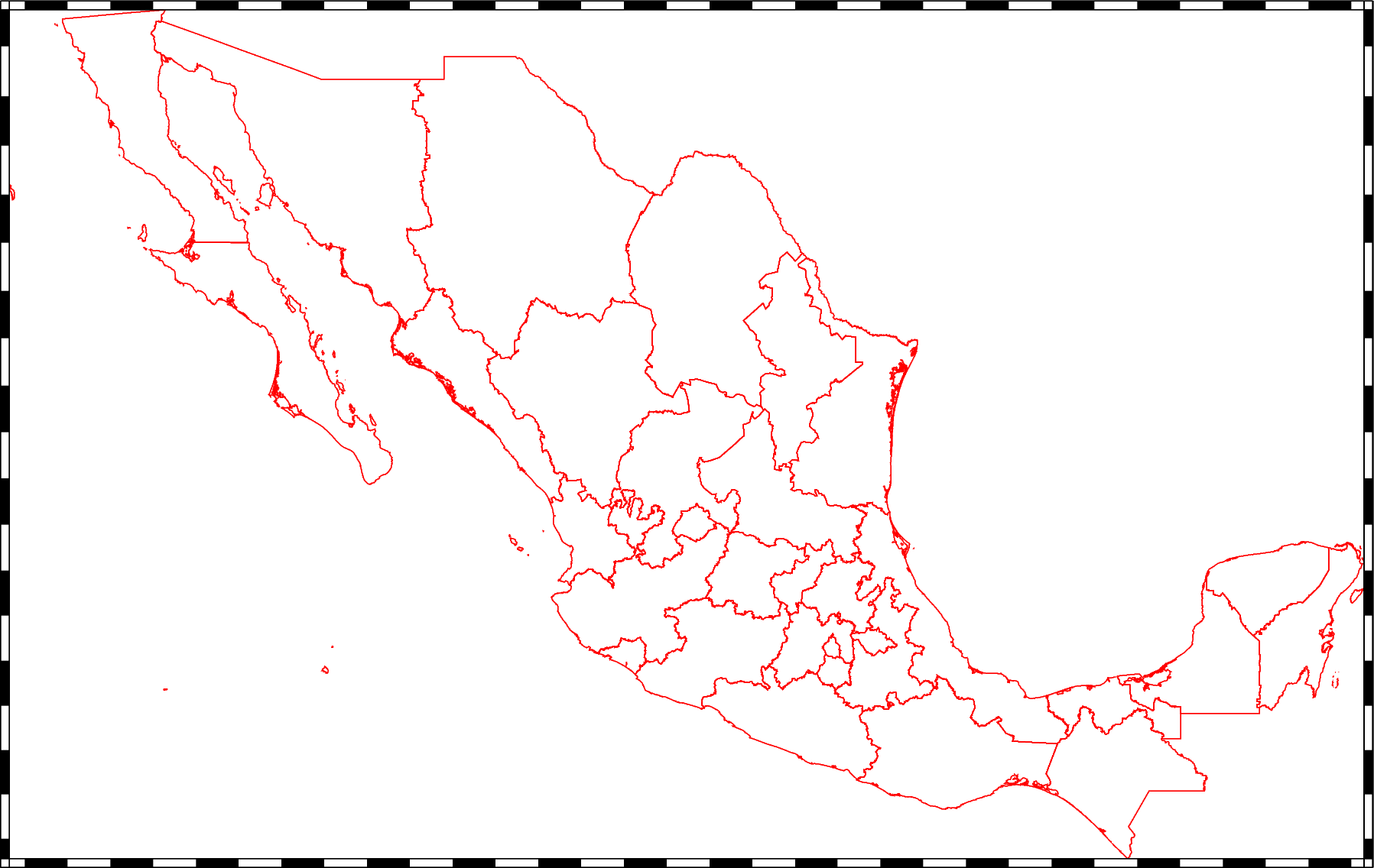
The script will download the selected data and level in KMZ format. Then, it will unzip that file (to KML) and convert it to a GMT format. At the end, you will have a GMT file in the same directory. To demostrate, we will create a level 1 map of Mexico (code MEX).
# How to plot political borders from GADM data set
#
# GDAM data
# ------------------------------------
# Set country with three-leter code.
COUNTRY=MEX
# Set level from 0 to 5. 0 = Country outline.
LEVEL=1
# GADM data set version
VERSION=4.1
# File formats (https://gadm.org/formats.html)
FORMAT=kmz
SITE="https://geodata.ucdavis.edu/gadm/"
# Remove dot from version
VERSION_WITHOUT_DOT=$(echo ${VERSION} | tr -d '.')
# Set file name without extension
NAME="gadm${VERSION_WITHOUT_DOT}_${COUNTRY}_${LEVEL}"
# URL
URL="${SITE}gadm${VERSION}/${FORMAT}/${NAME}.${FORMAT}"
# ------------------------------------
# Download data from GADM
echo "Downloading geographic data provided by the https://gadm.org project. It may take a while."
gmt which $URL -Gc
# Unzip KMZ to KML. Set to NOT (-n) overwrite existing file.
unzip -n ${NAME}.${FORMAT}
# Convert KML file to GMT format with OGR/GDAL
ogr2ogr -f "GMT" ${NAME}.gmt ${NAME}.kml
# Test Plot data
gmt begin ${COUNTRY} png
    gmt plot ${NAME}.gmt -Wred -JM15c -Bf -Re
gmt end
# Delete KMZ and KML files
rm ${NAME}.km?